
By Namith DP | June 25, 2025
Introduction
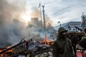
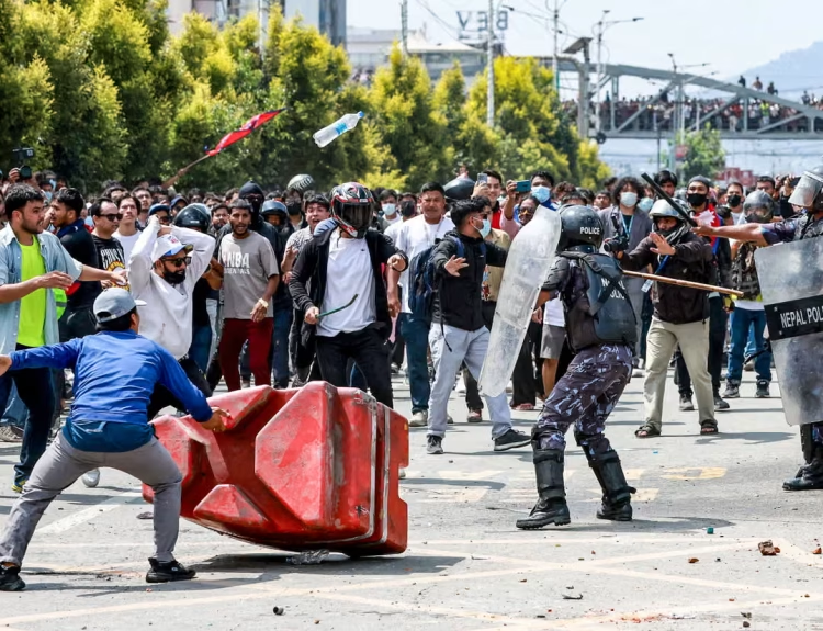
In an era of instantaneous warfare, the ability to monitor real-time conflict zones is no longer exclusive to intelligence agencies. Governments, humanitarian organizations, security analysts, and even media outlets require accurate, up-to-date, and geospatially anchored information to inform decisions. From the Russo-Ukrainian War to the Gaza conflict and Sudanese civil clashes, real-time data plays a critical role in shaping diplomacy, risk mitigation, evacuation planning, and humanitarian response.
Part I: Understanding the Real-Time Conflict Monitoring Landscape

1. Clarify Your Monitoring Objectives
Before selecting tools or methods, decision-makers must first identify specific monitoring goals. These will define the platforms, data fidelity, and reporting cadence required:
- Use Cases:
- NGO or UN humanitarian operations.
- Private-sector supply chain risk.
- Governmental intelligence and diplomacy.
- Journalistic field verification.
- Geographic Scope:
- Global threat visualization.
- Regional cluster analysis.
- Hyper-local mapping (e.g., towns, streets).
- Data Depth and Frequency:
- Static historical patterns (weekly/monthly).
- Dynamic live feeds (hourly updates).
By refining scope early on, organizations can invest in the correct data infrastructure.
2. Trusted Map-Based Platforms for Real-Time Data
Liveuamap
One of the most widely cited real-time conflict maps, Liveuamap began during Ukraine’s 2014 unrest and now spans over 20 regions. It crowdsources verified reports and social content, with automated alerting systems and live map overlays.
- Regions covered: Ukraine, Gaza, Syria, Yemen, Afghanistan, Sudan.
- Layers include airstrikes, protests, and cyber warfare.
- API and Pro plans support integration.
- Website: https://liveuamap.com
DeepStateMap.Live
Maintained by Ukrainian volunteers, DeepStateMap offers near real-time updates on frontlines in Ukraine. This map pulls from OSINT, government reports, and first-hand visual evidence.
- Integrates drone imagery and military source data.
- Visual distinction between occupied, contested, and liberated zones.
- Supports Telegram update channels.
- Website: https://deepstatemap.live/en
CFR Global Conflict Tracker
Created by the Council on Foreign Relations, this tool provides macro-level summaries of major international conflicts with severity indicators, history, and diplomatic context.
- Updated monthly.
- Includes background, analysis, and U.S. policy context.
- Website: https://www.cfr.org/global-conflict-tracker
CrisisWatch by International Crisis Group
This early warning system identifies regions at risk of escalation. It’s particularly useful for policymakers and humanitarian strategists.
- Covers 70+ conflicts.
- Highlights deteriorating conditions and international responses.
- Website: https://www.crisisgroup.org/crisiswatch
Part II: Data Integration – OSINT, Satellite, AI, and Crowd Intelligence

3. Structured Conflict Databases
ACLED (Armed Conflict Location and Event Data)
ACLED is a leading authority in political violence data collection. It aggregates and verifies conflict events including protests, battles, and violence against civilians.
- Used by the United Nations, NATO, and Amnesty International.
- Granular filters: actor type, weapon used, casualties.
- Downloadable CSVs and developer-friendly API.
- Website: https://acleddata.com
ICEWS (Integrated Crisis Early Warning System)
Backed by the U.S. government, ICEWS uses natural language processing and structured event coding from global news feeds to forecast conflict trends.
- Employs probabilistic forecasting.
- Applications in military planning and diplomacy.
- Primarily accessed via defense contractors or academic licenses.
4. Crowdsourced Tools and Social Media Intelligence
Ushahidi
Originally developed during Kenyan post-election violence, Ushahidi allows citizens to submit incidents via SMS, email, or social media.
- Open-source and deployable in under 48 hours.
- Supports multimedia and GPS data.
- Used in Syria, Gaza, DR Congo, and India.
- Website: https://www.ushahidi.com
Infegy Atlas
Infegy’s platform specializes in sentiment analysis and geo-social pattern recognition. By tracking keywords, hashtags, and real-time location-based signals, it identifies spikes in conflict activity.
- Predictive models built on historical incident spikes.
- Detected Kherson-related chatter before the Ukrainian advance.
- Website: https://infegy.com
OSINT Analysts and Collectives
- Bellingcat: Investigates and verifies war crimes using geolocation and metadata.
- GeoConfirmed: Provides visual OSINT confirmation using triangulation.
- Oryx: Documents military equipment losses with imagery.
These groups enhance transparency and crowdsource verification.
5. Satellite Imaging and Machine Learning
Sentinel and Landsat Programs
European Space Agency’s Sentinel-1 (SAR) and Sentinel-2 (optical) satellites are open-access and deliver vital data for destruction mapping.
- Use SAR for night/cloud imagery.
- Combined with ML models for structure loss.
Maxar, Planet Labs
Commercial vendors offering ultra-high-resolution imagery:
- Resolution: as sharp as 30cm/pixel.
- Used during Mariupol siege and Kabul withdrawal.
- Satellite feeds available via subscription and API.
AI-Powered Conflict Analysis
Peer-reviewed research (2020–2024) has developed real-time damage detection models using:
- Pixel-Wise T-test (PWTT): Tracks changes from SAR bands.
- Deep CNNs: Classify rubble vs. intact infrastructure.
- Multimodal ML + GIS layers: Reveal refugee flows and fire damage.
Part III: Building, Verifying, and Operationalizing Your Conflict Monitoring System

6. Integration and Visualization Infrastructure
To operationalize data, use platform-agnostic visual tools:
ArcGIS and QGIS
- Combine ACLED, Ushahidi, satellite layers, and Liveuamap feeds.
- Enable geofencing alerts and interactive dashboards.
Mapbox, Leaflet, Kepler.gl
- For developers creating browser-based dashboards.
- Supports heat maps, animation timelines, and mobile scaling.
Slack, Telegram Bots, Email Alerts
- Hook API outputs to communication apps.
- Deploy with filters for incident types, keywords, or geozones.
7. Verification and Validation Frameworks
Accuracy matters. Here’s how to maintain integrity:
- Cross-Validation: Confirm reports across at least two sources.
- Timestamp Matching: Match post time with satellite imagery or Telegram channels.
- Geolocation Tools: Use EXIF data and shadow analysis.
- Trusted Nodes: Build a reputation model for sources (NGO, journalist, anonymous).
8. Case Studies
Ukraine
- DeepStateMap: Updated hourly, synchronized with Telegram military channels.
- ACLED: Provided sub-regional incident types (missile, tank, civilian).
- Social Media: Spikes in Kharkiv activity in March 2022 predicted counter-offensive.
Gaza (2023–2024)
- Satellite AI: Used by UNOSAT to assess hospital damage.
- Ushahidi: Deployed for reporting shelling in refugee neighborhoods.
Sudan
- Intelligence Fusion + ACLED: Combined to map RSF–SAF clashes.
- Liveuamap: Lacked dense reporting, but Twitter OSINT filled gaps.
9. Ethical Considerations and Safeguards
Tracking warfare involves risk:
- Avoid endangering civilians: Do not publish coordinates of shelters or hospitals.
- Do not expose informants: Blur faces and usernames in videos/images.
- Combat misinformation: Flag unverified content before distribution.
Adopt GDPR-like standards even in unregulated territories.
10. Recommended Monitoring Workflow
- Select Base Map Tool: Start with Liveuamap or DeepStateMap.
- Add Structured Data: Pull ACLED and CrisisWatch feeds.
- Enable Crowd Input: Deploy Ushahidi or integrate Twitter API.
- Integrate Satellite Feeds: Use Sentinel or Maxar imagery with ML overlay.
- Deploy Social Listening: Use Infegy or custom OSINT tools.
- Build Dashboard: ArcGIS, QGIS, or Kepler.gl.
- Define Alerts: Casualty spikes, drone strikes, or frontline changes.
- Verify Reports: Use Bellingcat-like verification workflows.
- Document Everything: Store metadata, version logs, and citation sources.
11. Emerging Trends and Future Tools
- AI-Augmented Verification: LLMs for assessing credibility.
- Blockchain for Source Integrity: Ensures tamper-proof submissions.
- 5G Drone Imagery: Instant feed from UAVs with edge-processing.
- Multilingual NLP Alerts: Auto-translate and categorize non-English sources.
Conclusion
Conflict monitoring has evolved from passive observation to active, data-driven intelligence. Whether you’re an NGO protecting aid workers or a journalist mapping war crimes, today’s open data ecosystems offer the tools to monitor conflict in real time—accurately, ethically, and securely.
Using map-based platforms, AI analytics, OSINT strategies, satellite tools, real-world examples and with rigorous planning, validation, and integration, you can build a resilient system that protects lives and informs policy.


Good insight.